Help test this hypothesis!
"We hypothesize redcedar trees will be less healthy in historically redlined areas of Seattle compared to non-redlined areas."

Joey Hulbert
Program Director
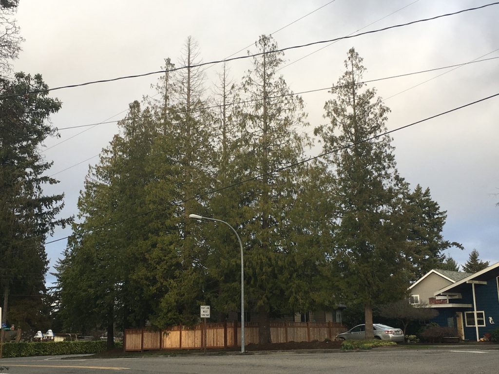
Open this link or click the button below with your mobile device to view the target trees in Google Maps.


Sadly, many of the hottest neighborhoods in cities are those occupied by Black, Indigenous, and People of Color communities. Arguably, the root of this injustice stems from America’s racist ideals and practices in the 1930s.
The legacy of these decisions is still apparent today. Neighborhoods that were less eligible for financial investment opportunities have reduced forest canopy coverage and greater heat levels. More information and data available at the Mapping Inequality Project.
How Decades of Racist Housing Policy Left Neighborhoods Sweltering
RICHMOND, Va. – On a hot summer’s day, the neighborhood of Gilpin quickly becomes one of the most sweltering parts of Richmond. There are few trees along the sidewalks to shield people from the sun’s relentless glare. More than 2,000 residents, mostly Black, live in low-income public housing that lacks central air conditioning.
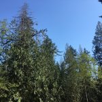
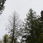
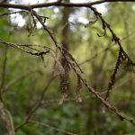
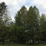
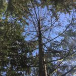
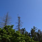
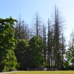
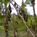
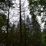
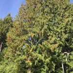
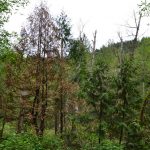
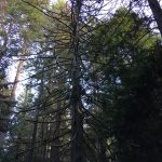
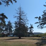
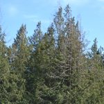
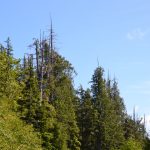
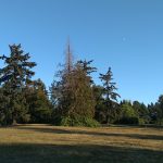
Redlining is a term for the practice of discrimination and denial of services to foreign or non-white communities. The practice directed capitol away from BIPOC and immigrant families, creating inequalities in wealth that are still apparent today.
The effects of redlining are also apparent in urban forests, including reduced access to green spaces, less canopy cover and higher surface temperatures, and less benefits of trees in general. Together, these effects indicate these redlined communities are less resilient to the effects of climate change.
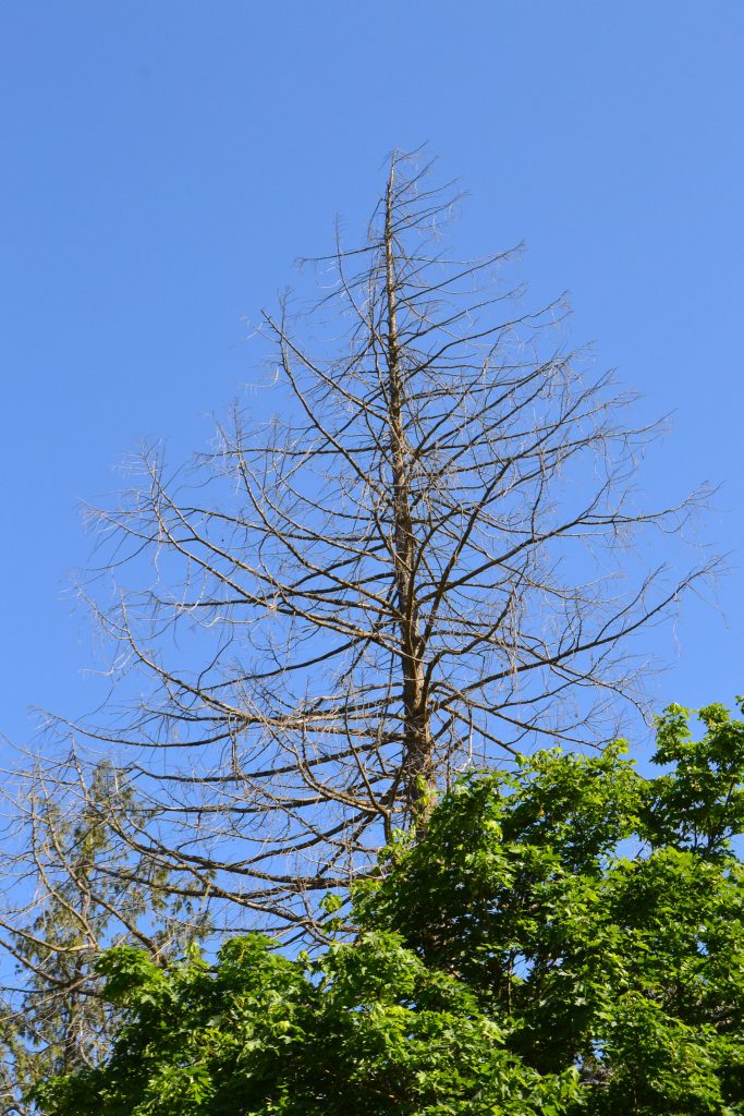
Does the health of trees in redlined communities symbolize their vulnerability to climate change?
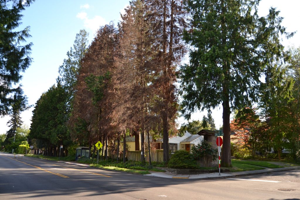
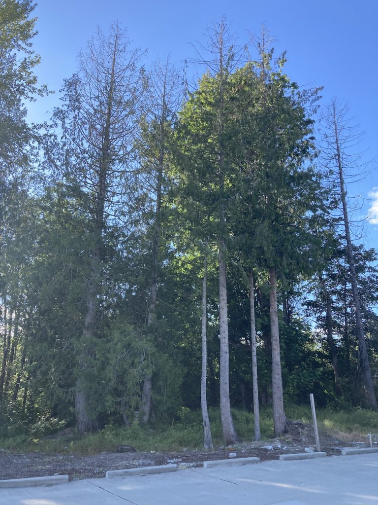
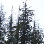
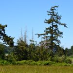
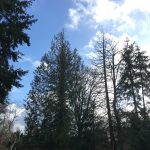
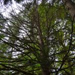
The dieback of redcedar is likely driven by hotter and longer droughts.
It may be one of the first tree species to show signs of heat stress in the PNW.
Together we can explore the dieback as a possible indicator of climate vulnerability in our communities.
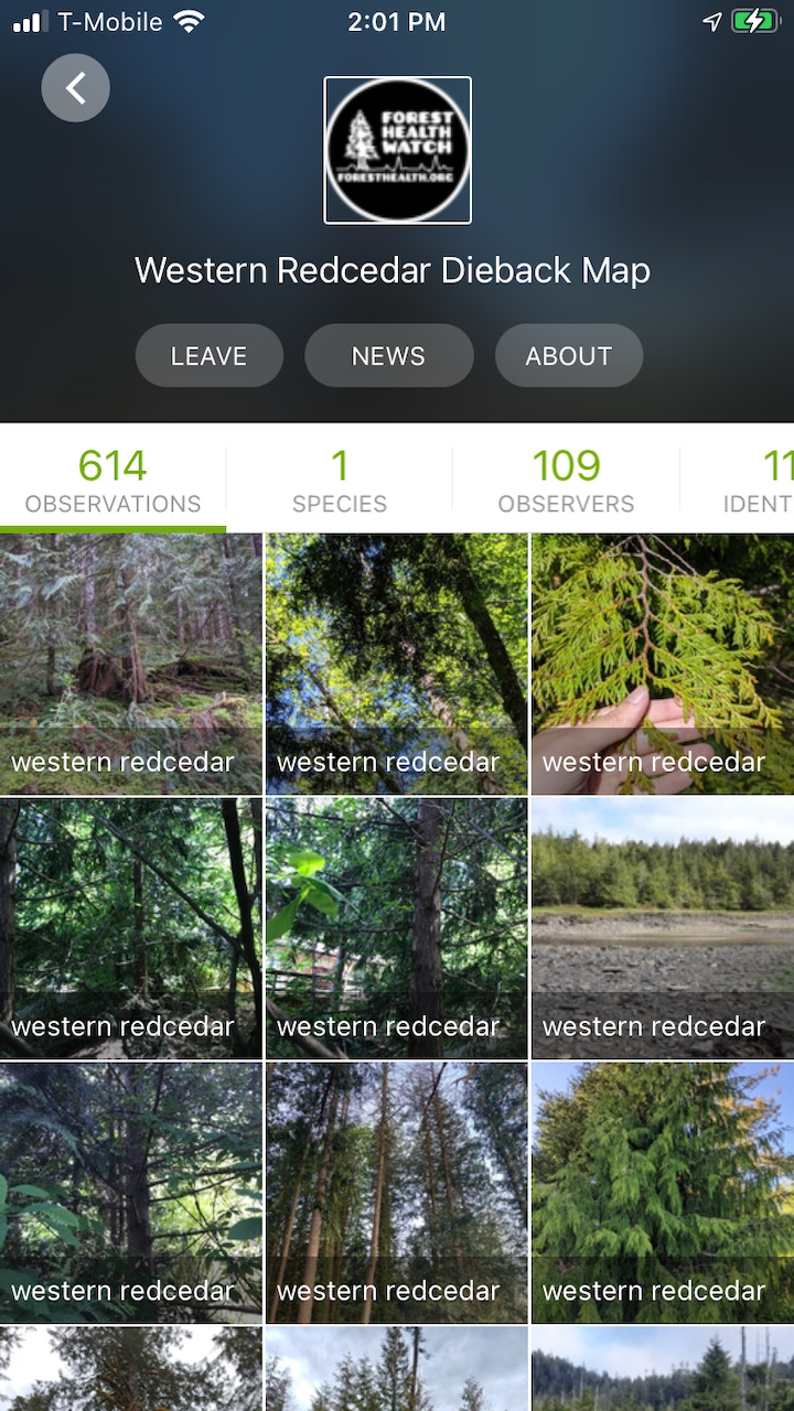
The below trees were randomly selected from the City of Seattle Street Tree inventories. Venture to these trees and share about their health with iNaturalist.
Open this link with your mobile device to view the trees in Google Maps.
Please try to find another western redcedar tree nearby if the tree at that GPS point no longer exists.
Please be respectful of the privacy of others
